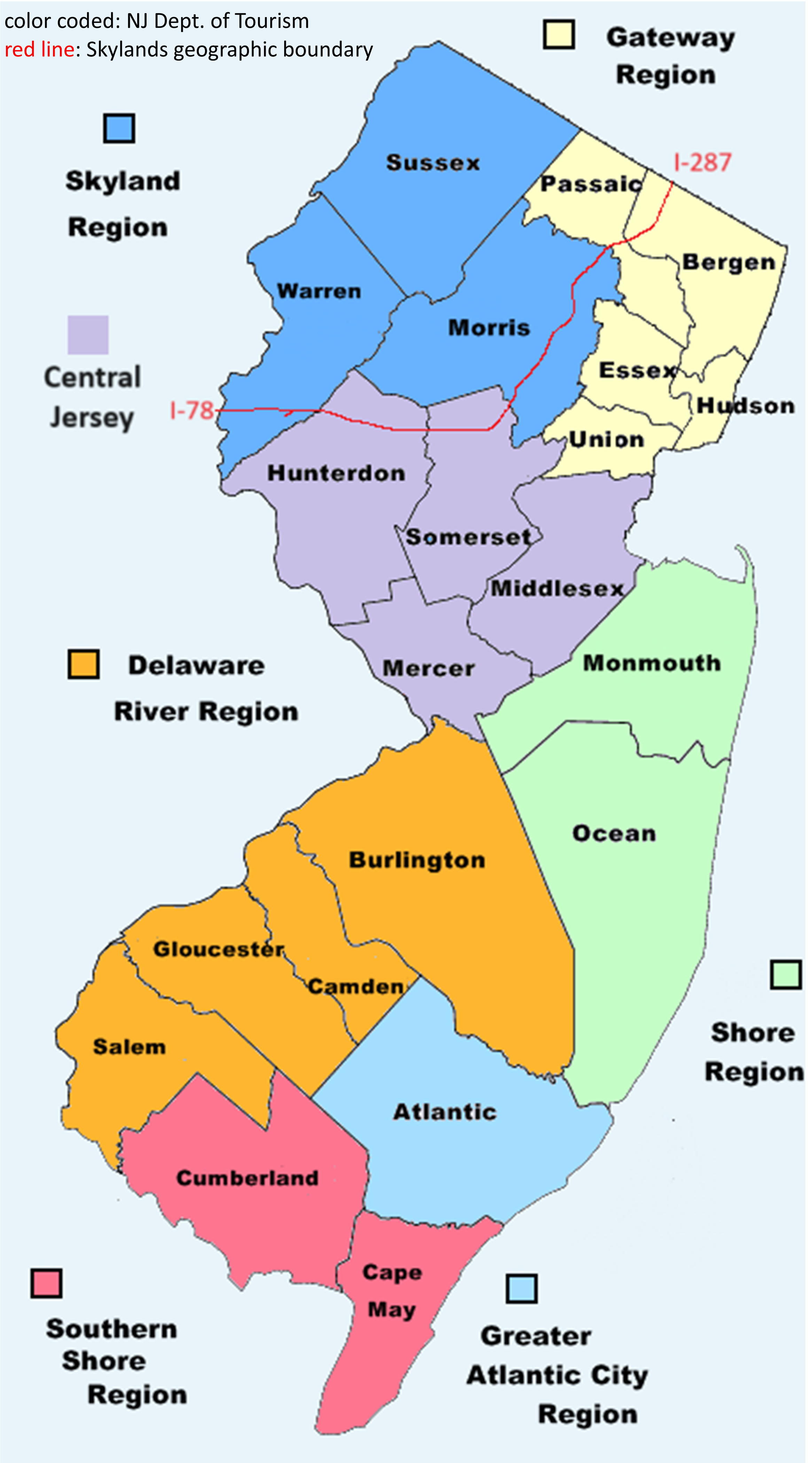
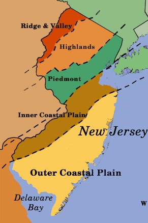
The New Jersey Skylands encompass the northwest corner of the Garden State, renowned for its rocky terrains, mountains, and lakes interspersed with historic towns, farmland, and watershed. As of August-2024, the New Jersey Department of Tourism defines the Skylands Region as Sussex, Morris, & Warren Counties for economic and tourism purposes. Geographically and culturally, however, the Skylands reside in the Ridge & Valley and most of the Highlands physiographic provinces which also encompasses western Passaic County, Bergen’s Ramapo Mountains, and the tops of Hunterdon and Somerset counties. It is bordered by I-287 and I-78 (where the post-glacial elevation and geography changes).
An Essential Prehistoric Landscape
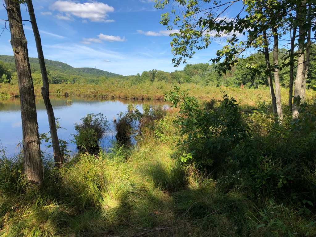
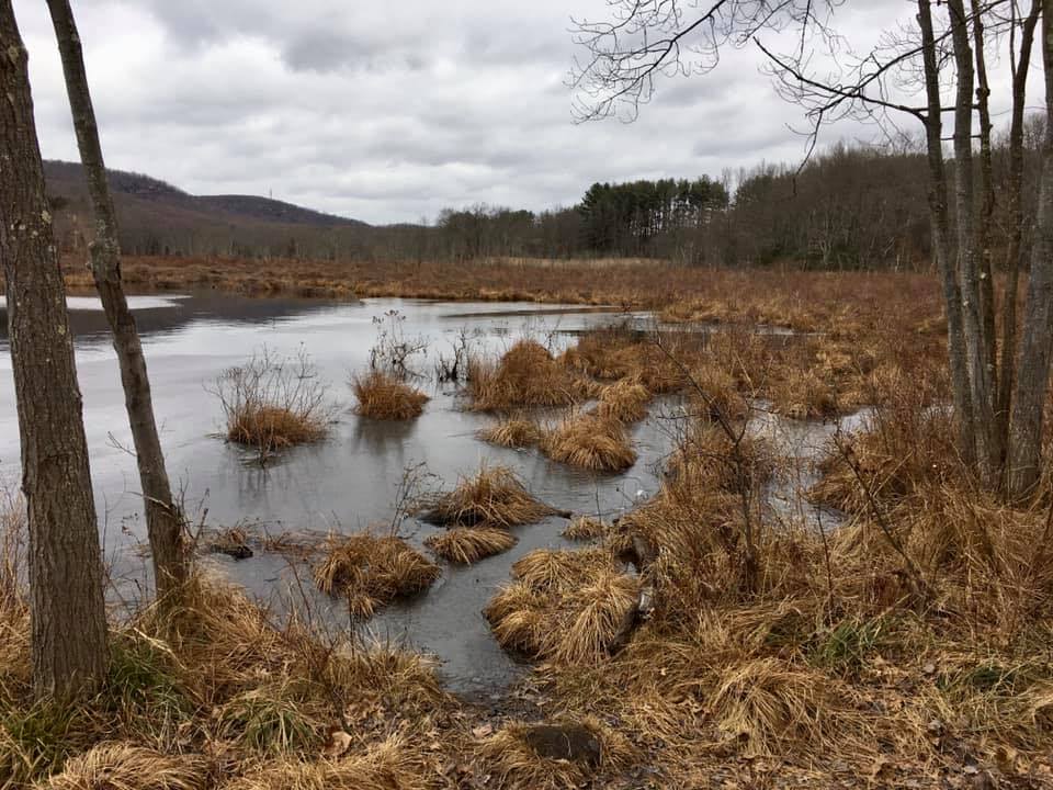
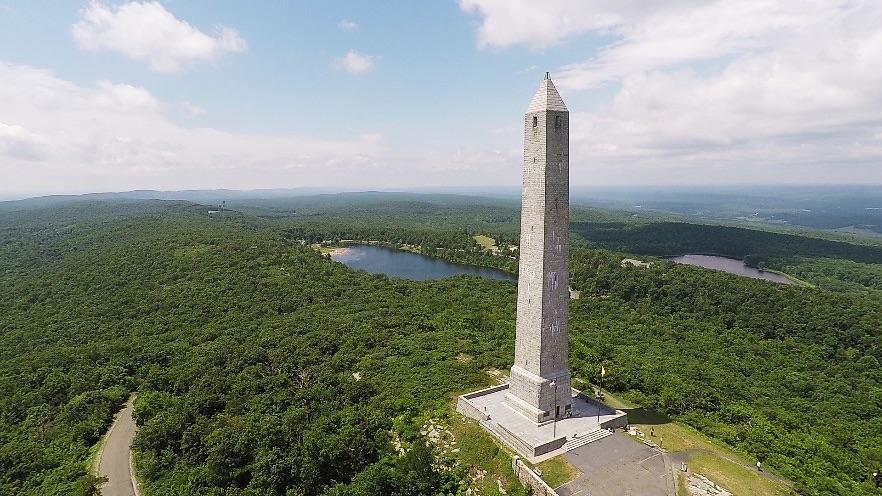
The Skylands differ from the rest of suburban New Jersey by its plethora of pastures, mountains, lakes, and upland forests. Shaped in part 12,000 years ago by the Great Wisconsin Glacier, it is one of the oldest landscapes in North America. The pre-Cambrian Highlands Watershed supplies drinking water to 2/3 of New Jersey’s population. We also sport the State’s highest point, largest freshwater body. and part of the Appalachian Trail. Hiking and boating abound. Sadly (unless you’re a skier) we also get the most snow in the State, earliest frost in Autumn, and last frost in Spring.
“Ruburbia”
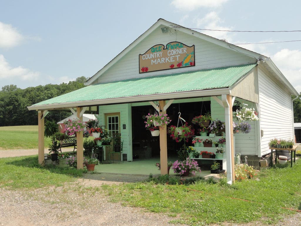
Once known for its dairy farms, mining, and forestry, the construction of I-80 after WWII lead to rapid development in the Skylands. Real Estate agents began referring to the region as “Ruburbia” to attract commuters. Open space and farmland preservation began in the early 1960s, and was constitutionally funded and accelerated with the 1998 Green Acres Bond. Further development was curtailed with the 2004 Highlands Act. These 50 years of environmental checks create a “hybrid” character to The Skylands, making it distinct from “North Jersey” and the New York City suburbs. Blacktop and sidewalks share the landscape, rather than dominate it. Great restaurants in bustling town squares may be down the road from a family farm or orchard. State Fairs are the real deal here, as are cultural centers like Morristown. A mountain or valley is always in view, and a lake or forest is always nearby. You learn to live with wildlife of all sizes in the Skylands. Along with friendly, easier-going people.
New Jersey’s Skylands Region is a model, albeit imperfect, of how non-urban development should be done, and why we love it out here. Explore the Region more and plan a visit here.